Investigation and characterization of surface subsidence related to block cave mining
Introduction
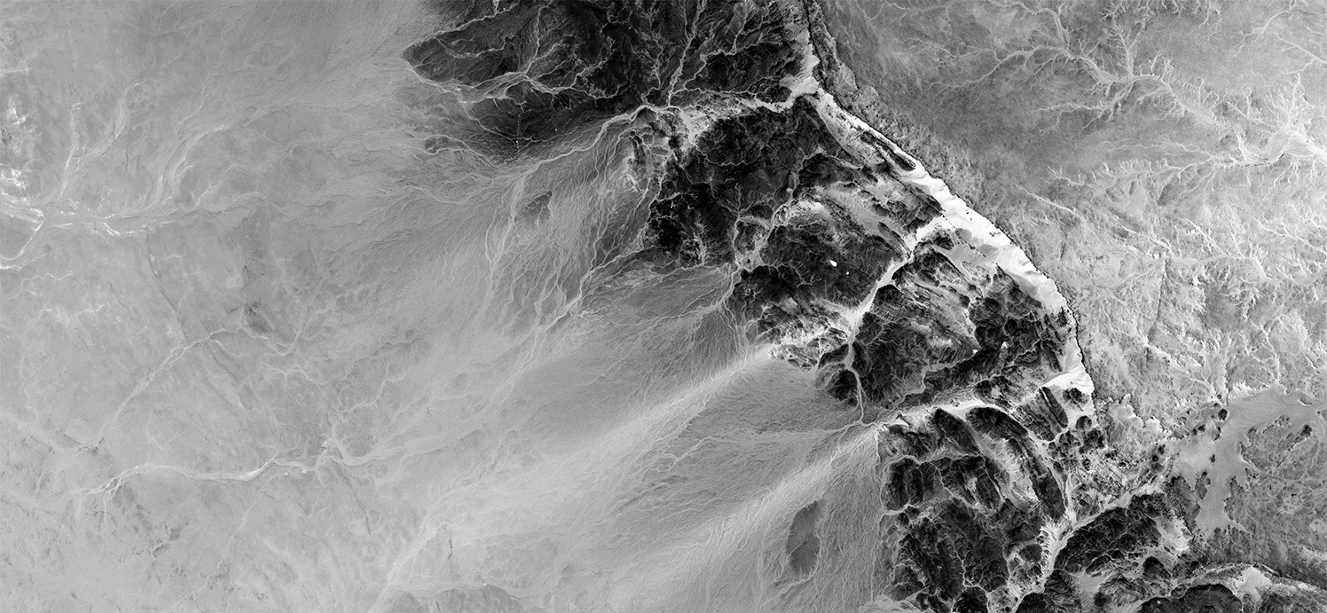
The use of block caving to mine deep, massive, low-grade ore bodies is gaining increasing attention from the mining industry given its merits in terms of safety, tonnage produced and costs that can match those of open-pit operations. However, the undercutting and bulk extraction of ore through caving (Kendorski, 1978; Brown, 2003), leads to the development of significant surface subsidence above the developing cave (see Figure 1), potentially impacting the integrity of surface infrastructure and the environment. To mitigate these impacts, it is important to predict the extent and magnitudes of this subsidence with reasonable accuracy (e.g. Moss et al, 2006). While much of the research on the topic of mining-induced subsidence has been directed towards longwall coal mining and continuous subsidence, block cave mining produces discontinuous subsidence due to the high draw intensity. This results in large differential movements controlled by geologic faults, rock mass heterogeneity, and irregular surface topography.
To predict discontinuous subsidence, the use of sophisticated numerical models is required, which in turn require a detailed understanding of the site conditions including proper representation of the geology and rock mass properties. This study aims to further the characterization, assessment and understanding of block caving subsidence dynamics by addressing existing limitations in the use of empirical and numerical subsidence analysis methods. The paper presents the development of a block caving subsidence database, a comparative analysis testing different numerical modelling techniques, and a detailed case study of the Palabora block cave mine in South Africa. The study describes the integration of field characterization data and remote-sensing monitoring techniques (PS-InSAR) to constrain an advanced 3-D numerical model that simulates the ground response over several years for a developing cave.
Figure 1 Block caving-induced subsidence deformation zones as defined by Van As et al. (2003).
Block cave subsidence database
The first step of this work involved developing a comprehensive database of subsidence information from block cave mining operations, both historic and currently producing, to identify the key factors and ground interactions influencing caving-induced subsidence. A thorough search of the published literature, university theses, and government reports was conducted leading to a database of more than ninety caving operations throughout the world. From these, 47 cases related to block and panel caving operations. These were analyzed to examine relationships between caving depth and extent of surface disturbance (i.e. caving, fracture initiation, and subsidence angles as defined in Figure 1).
Figure 2 plots two of these relationships for the caving angle, which encompasses the zone of greatest disturbance on surface. The first of these shows the influence of geology, indirectly, by plotting the resource being mined. Diamond, iron, nickel and asbestos operations are seen to have steeper caving angles, signifying a smaller impact footprint on surface. This is due in part to the typical shapes of these ore bodies, which may be more vertical, and strength contrasts between the weaker ore rock being caved and the stronger host rock. On the other hand, copper operations and those in weak sedimentary rocks have lower caving angles, due in part to their more irregular shape and/or weaker host rocks. The second example provided in Figure 2 shows the relationship between caving angle and topography. Although the relationships here are more varied, in general, the influence of a more irregular topography is seen to result in lower caving angles as well as a larger range in angles measured for the same site. A large range in angles signifies a greater degree of asymmetry in the subsidence profile.
Figure 2a
Figure 2b
Figures 2a and 2b. Depth versus caving angle for global block and panel caving operations, colour coded for the resource being mined (Figure 2a), a proxy for the influence of geology, and the general characteristics of the surface topography (Figure 2b).
Benchmark testing for block cave mining
Numerical modelling techniques applied to block caving vary widely in the way in which they treat the dimensionality of the problem and the influence of geology, and in how they simulate different aspects of caving behaviour. Continuum techniques are more computationally efficient, especially in 3-D, but are limited to simplified representations of geology and cave propagation. Discontinuum techniques can account for the presence of geological structures and brittle fracture behaviour, but because of their complexity, are limited to 2-D. Benchmark testing of several different numerical techniques is being carried out to investigate their abilities and limitations with respect to modelling block caving subsidence for a range of undercut depths. The comparison is being carried out for a conceptualized problem involving a porphyry type deposit, incorporating faults, several different lithologies and varying rock mass properties. The undercut depths being tested vary from 500 m to 2000 m in increments of 500 m.
Shown here are results obtained using an advanced 2-D brittle fracture finite element discrete element dis continuum code (Rockfield Software’s ELFEN), for an undercut depth of 500 m (Figure 3). The successive images represent different stages in rock mass fracturing and cave development as the undercut is driven across three panels, mined from right to left. The results show that most of the subsidence occurs between the two bounding faults to the right and left of the undercut. Figure 4 compares the results for a 2000 m deep undercut derived using the ELFEN brittle fracture code and a simpler continuum representation using a 2-D finite element code with joint elements (Rocscience’s Phase2). Here, the subsidence zone extends beyond the fault lines due to the greater depth of the undercut, resulting in a more laterally extensive zone of influence on surface. Although the degree of caving disturbance at surface is less pronounced due to the undercut depth, the small-strain surface subsidence is more extensive.
Figure 3
Figure 3. Caving-induced brittle fracture and subsidence for an undercut depth of 500 m. The thick black lines represent the faults to the left and right of the undercut. Shown are several intervals in cave development corresponding to material drawn: (a) 10,000 m3, (b) 30,000 m3, (c) 50,000 m3, (d) 100,000 m3, and (e) 200,000 m3.
Figure 4
Figure 4. Comparison between finite element continuum analysis with joint elements (top) and brittle fracture finite element discrete element dis continuum analysis (bottom) for the case of a 2000 m deep undercut. The thick black lines represent faults to the left and right of the undercut. Shown is the state of cave development and vertical displacements corresponding to a material draw of 200,000 m3.
3-D numerical analysis with InSAR data
Traditional surface monitoring techniques (effectively point measurements) are insufficient to provide the spatial coverage or resolution required to properly calibrate the sophisticated 3-D numerical models required to assess caving-induced subsidence. Satellite radar interferometry (InSAR) offers a better means of monitoring mining-induced differential strains, including small strains (<1%), that develop across an irregular surface topography. InSAR data have been collected for the Palabora block cave mine in South Africa, allowing lessons learned to be transferred to other operations currently under development. InSAR deformation maps were processed through a collaborative partnership with the Canadian Space Agency, MDA Systems and Simon Fraser University. These were used to calibrate and constrain advanced numerical models by comparing measured and modelled deformation responses to past and present block cave mining at the selected test site. Full integration with detailed mine data models (e.g. geological data sets, operation data, etc.), was performed to allow for the effects of geological structure and heterogeneity on underground-surface mine interactions and asymmetry in surface subsidence.
To initially constrain and calibrate the model, a back analysis of a 2005 caving-induced open-pit mine slope failure above the block cave undercut was performed, which showed that the modelled outcome is dependent on the assumed rock mass properties and far-field in situ stresses (Figure 5). Good agreement was found between the 3D modelled extent of ground movement and the location of the 2005 pit slope failure. A best fit set of input properties was obtained and used for modelling subsequent caving-induced subsidence to be compared to RADARSAT-2 data collected from March 2009 to March 2010. Close agreement was achieved with respect to the spatial extent and magnitudes of the InSAR displacements through calibration of the 3D model (Figure 6). Further comparison with the geodetic monitoring data from the mine likewise showed very good agreement.
Figure 5
Figure 5. Best fit 3-D continuum finite difference model (Itasca’s FLAC3D), comparing modelled vertical displacements (greater than 3 cm) to the outline of the pit wall failure at Palabora.
Figure 6
Figure 6. Comparison of 3-D numerical modelling results (FLAC3D) for a point of interest compared to the InSAR and mine geodetic derived vertical displacements for the same point, between March 2009 and March 2010.
Conclusions
Recent advances in software and processing platforms have allowed the use of sophisticated numerical models to simulate mining-induced subsidence in a more accurate way than was available previously. This is a significant improvement over the previously commonly-used empirical prediction methods. Models need to be calibrated using good data from well-documented case histories. Satellite radar interferometry (InSAR) offers a better means of monitoring mining-induced surface subsidence than conventional survey methods.
References
Brown ET, 2003, Block caving geomechanics, University of Queensland, Julius Kruttschnitt Mineral Research Centre.
Kendorski FS, 1978, “Cavability of ore deposits”, Mining Engineering 30 (6), pp 628-631.
Moss A, Diachenko S & Townsend P 2006, “Interaction between the block cave and the pit slopes at Palabora Mine”, Stability of Rock Slopes in Open Pit Mining and Civil Engineering Situations, Johannesburg, 3-6 April 2006. Johannesburg: SAIMM, Symposium Series S44, pp 399–410.
van As A 2003, “Subsidence definitions for block caving mines”, Technical Report, Rio Tinto Technical Services, 59 pp.
Kyu-Seok Woo